Phantom Towns and Misdrawn Borders: The Cartographic Mistakes That Built Real Destinations
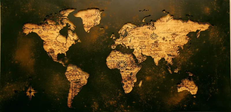
There's a particular kind of irony buried inside old maps. The ones that got things wrong — sometimes wildly, embarrassingly wrong — often did more to shape how people move through the world than the accurate ones ever did. Explorers chased coastlines that weren't there. Settlers built roads toward towns that had never existed. And somewhere along the way, the destinations those errors created became real, beloved, and worth visiting for entirely different reasons than anyone originally intended.
Cartographic mistakes aren't just historical curiosities. They're origin stories.
The Town That Wasn't — Until It Was
In the early 19th century, American frontier maps were optimistic documents. Surveyors working under pressure, with limited equipment and even more limited time, filled in gaps with educated guesses. Sometimes those guesses were wildly off. A settlement marked on a government survey might reflect a single trading post, a rumored encampment, or just the wishful thinking of a cartographer who needed something to put in that blank space.
When settlers and travelers arrived expecting a town, they found nothing. But here's the thing — they'd already come all that way. Some of them stayed. They built around the name on the map, turning a fiction into a fact through sheer stubbornness. Dozens of small American towns have this kind of accidental founding story, where the map preceded the place rather than the other way around.
Think about that the next time you drive through a tiny crossroads town with an oddly formal name and wonder how it got there. There's a decent chance someone was just following directions that were never quite right.
California's Phantom Island and the Tourists Who Still Come Looking
One of the most famous cartographic errors in American history is the persistent myth of California as an island. For over a century — from roughly 1510 to the 1740s — European maps depicted California as a massive island separated from the North American continent by a strait. It took multiple overland expeditions and significant political pressure before mapmakers finally corrected the error.
But the legend didn't die. It transformed. Today, that particular mistake has become a draw in itself — a piece of geographical folklore that pulls history enthusiasts, rare map collectors, and curious travelers into California's museum collections and antique shops. The Bancroft Library at UC Berkeley holds some of the most stunning examples of these island maps, and they're genuinely worth making a trip for. The error became the exhibit.
That's how cartographic mistakes tend to work in the long run. They graduate from embarrassment to artifact.
The Roads Built Toward Nothing
Some of the most scenic drives in the American West exist because someone was heading somewhere that turned out not to be there. Mining boom maps, in particular, were notorious for marking prospective sites as established settlements — drawing prospectors, supply wagons, and eventually roads toward locations that were little more than a name and a rumor.
When the mines didn't pan out and the promised towns failed to materialize, the roads remained. And roads, once built, attract people. Eventually, those routes became the scenic byways and rural highways that modern travelers prize precisely because they don't go anywhere obvious. The emptiness is the point now. But emptiness only got there because someone was chasing a map that lied.
If you've ever driven a stretch of highway in Nevada or Colorado and thought, "why did anyone build a road out here?" — there's your answer.
Misplaced Rivers and the Valleys They Created
Hydrological mapping was notoriously difficult before aerial surveys. Rivers moved, flooded, dried up, and split into channels that confused even experienced surveyors. Maps frequently placed rivers miles from their actual locations, which had some interesting downstream effects (pun intended) on where settlements grew.
Towns built to take advantage of a mapped river crossing sometimes ended up near a different waterway entirely — and occasionally, that substitution worked out better than the original plan would have. Certain valley communities in the Appalachians and Ozarks developed their particular character precisely because the river they actually got was different from the one the founders expected. The landscape shaped the culture, and the culture is exactly what draws visitors today.
What This Means for Modern Explorers
If you're the kind of traveler who uses WonderMap to find places that feel genuinely off the beaten path, there's a practical lesson hidden inside all this historical trivia: the places with complicated, accidental origin stories tend to have the richest character.
A town that exists because of a map error had to figure out what it actually was. It couldn't just be what someone planned for it to be, because the plan was wrong from the start. That process of improvised identity-building produces communities with unusual histories, unexpected architecture, and the kind of local pride that comes from having survived something.
When you're planning your next trip, try digging into the founding story of wherever you're headed. If the answer involves a surveying mistake, a misread compass, or a map that put something where nothing was — go. Those places earned their existence the hard way, and they usually have something genuinely interesting to show for it.
Finding the Errors Before Everyone Else Does
Old maps are more accessible than ever. The Library of Congress has digitized thousands of historical American maps, and the David Rumsey Map Collection is a rabbit hole that will eat an entire afternoon if you let it. Spend some time with 19th-century county atlases for whatever region you're curious about, and look for the discrepancies — places named on old maps that don't appear on modern ones, or towns whose locations shifted significantly between editions.
Those discrepancies are invitations. They're pointing at places with stories that haven't been fully told yet, destinations that exist in the gap between what someone drew and what actually happened.
The map lied. The place told the truth. And the truth, as it turns out, is frequently worth the drive.